We had fabulous weather this weekend for a visit to the ever-fascinating Northey Island in Essex. Here are some photos.

The picture above shows clearly one of the sea walls that surround the farmland on the island. To the left is an area reverted to saltmarsh, with the scouring of mud caused by turbulence as incoming tides rebound off the sea wall itself. But at this point the sea wall is lower than the field to the right of it, and this wall was overtopped during the storm surge of December 2013.

Fabulous new signage at the start of the causeway leading to the island.

The square shapes in the salt marsh are former oyster beds.

Another stretch of sea wall, this time out in the marshes.

In the field on the mainland, flocks of geese were congregating. The noise they make when they are disturbed and take to the air is quite amazing.
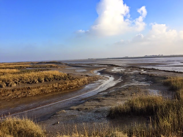
One of the deeper channels in the mud, at the end of a stretch of sea wall. The depth of the channel shows the power of the tide. Northey Island and its causeway serve a strategic function in slowing the impact of the tide as it approaches Maldon. It defends homes there from flooding, just as it was a defensive point in 991 AD when the vikings invaded (leading to the Battle of Maldon in that year).

View across to the wreck of a Thames Barge. Apparently this was placed here deliberately as a permanently moored floating accommodation.